



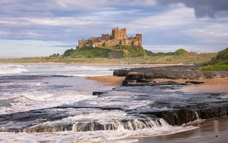
It might not have the dramatic fells of its neighbour Cumbria, but Northumberland more than makes up for it with bags of space and far fewer people. You won’t find yourself queueing to snap the perfect view, or frustrated because your footpath is jammed with other walkers.
Trails here will lead you across wildly different terrains. The softly rounded Cheviot Hills are the highest points in the county: remote, quiet and with views of Scotland. By contrast, the coastline offers handy pubs and lunch stops along endless dune-backed beaches. If you prefer woodland walks, Kielder Forest (England’s largest) has an extensive network of trails, many dotted with art installations. And if you seek a challenge, there are 84 miles of the Hadrian’s Wall Path to take on.
Not all walks are aimed at the hardcore hiker. There are pretty riverside trails with waterfalls, ruined castles and lead-mining remains to discover, or seabirds and grey seals to spot from a beach stroll.
Find a walk by type:
Short strolls
Blanchland
2 miles | 1.5 hours
Start/end: Blanchland village
OS Grid Reference: NY 96610 50307
Explorer map: 307 / OL43
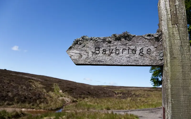
The pretty estate village of Blanchland, in south Northumberland, teeters on the county border, marked by the River Derwent, so this riverside walk takes you briefly into County Durham. From the village, follow the road south over the river, taking the footpath on the right through peaceful woodland and emerging to turn right over a second bridge; keep an eye out for a useful picnic site on your left. Return either by the northern riverside path – look out for dippers and kingfishers – or through Baybridge village and field footpaths.
Thirlwall Castle
2 miles | 1 hour
Start/end: Walltown Quarry car park
OS Grid Reference: NY 66815 65916
Explorer map: OL43
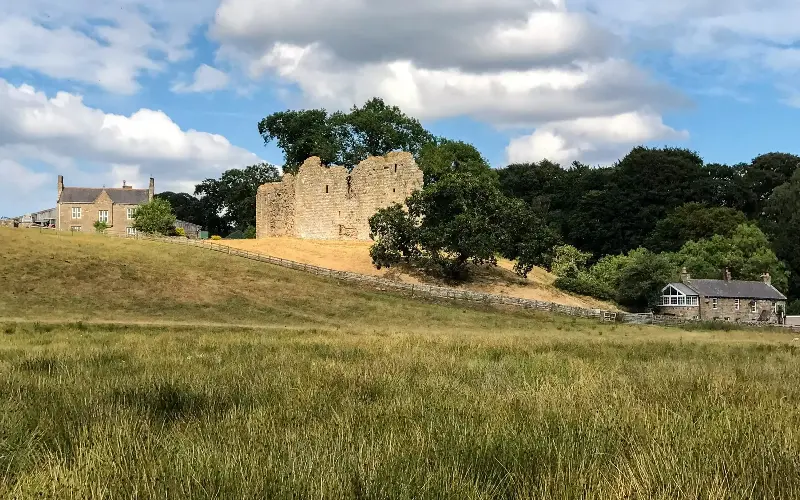
This walk, although short, gives a taste of both Hadrian’s Wall Path and the Pennine Way, mighty long-distance paths that overlap at this point. From Walltown car park, follow the acorn-signed footpath west, running north of the line of Hadrian’s Wall, to the ruins of 12th-century Thirlwall Castle (built with stones nicked from the Wall) before turning south to Greenhead village. Pick up the Hadrian’s Cycleway east out of the village, then strike across fields towards the Roman Army Museum (a fascinating recreation of life in a Roman army fort), which is close to the car park.
Easy walks
Kielder Water
6.3 miles | 3 hours
Start/end: Leaplish Waterside Park
OS Grid Reference: NY 65962 87733
Explorer map: OL42
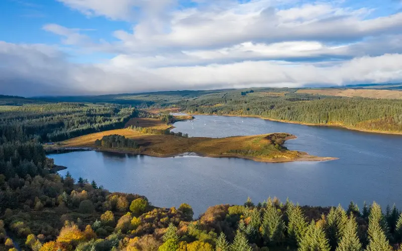
Kielder Water (the UK’s largest artificial lake by capacity) in Kielder Forest (England’s largest) offers a 26-mile circular lakeside trail that you can dip in and out of. From Leaplish Waterside Park, take the trail through gnarled beech trees towards the lake’s magnificent dam, passing Shadow and Whirling Beans (two of the lake’s art installations) to Bull Crag Peninsula (and another installation, Freya’s Cabin). Either circle the peninsula, with its ever-changing views across the lake, or take a short-cut path across the peninsula to rejoin the trail and return to Leaplish.
Craster
3 miles | 1.5 hours
Start/end: Craster Harbour
OS Grid Reference: NU 25728 19957
Explorer map: 332
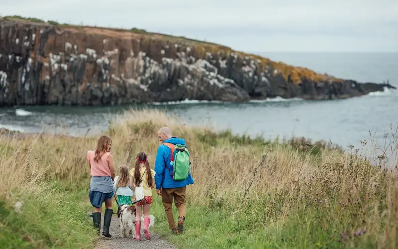
From Craster harbour, opposite the Robson’s kipper smokehouses, pick up the Northumberland Coastal Path north across sheep-dotted pasture, with your destination, the stark ruins of medieval Dunstanburgh Castle, looming ahead. You can explore the castle, but I prefer to walk towards the clifftops (taking care, obviously) for the thrill of the sea roiling below. With luck, you might spot a dolphin. Return along the same route.
Iconic trails
Hadrian’s Wall and Steel Rigg
7 miles | 4 hours
Start/end: Steel Rigg car park
OS Grid Reference: NY 75108 67677
Explorer map: OL43
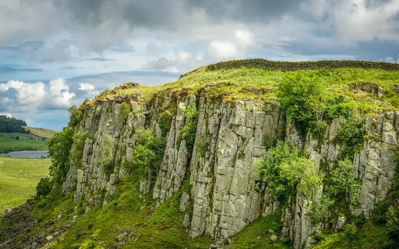
Steel Rigg, one of the most dramatic sections of the Hadrian’s Wall National Trail, is where the path snakes alongside the wall over the escarpments of the Great Whin Sill, a volcanic outcrop which disrupts the landscape like a frozen wave. From Steel Rigg car park, near The Sill Visitor Centre, head east along the trail (passing the poignant space of the felled Sycamore Gap tree) over Highshield Crags to Housesteads Roman Fort. Return along the path that runs parallel to the wall on the northern side and which gives the best impression of how impregnable the wall must have looked to northern barbarians.
Bamburgh beach
7 miles | 3 hours
Start/end: Seahouses
OS Grid Reference: NU 21943 32074
Explorer map: 340
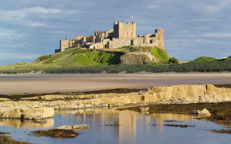
It’s debatable which is the best starting point for this coastal circular walk: Bamburgh or Seahouses. Starting in the latter, however, makes for a magnificent approach to Bamburgh’s mighty castle. Head north out of the jolly seaside village and, once past the rocky foreshore, take the path down to the beach. Then it’s a glorious three-mile romp along the sands before the battlements and towers of Bamburgh Castle, on its rocky outcrop, loom above the dunes. Circle around the castle into Bamburgh village and pick up the well-marked footpath to the south of the car park which leads across fields back to Seahouses.
Challenging hikes
Windy Gyle
9 miles | 5.5 hours
Start/end: Barrowburn
OS Grid Reference: NT 86730 10790
Explorer map: OL16
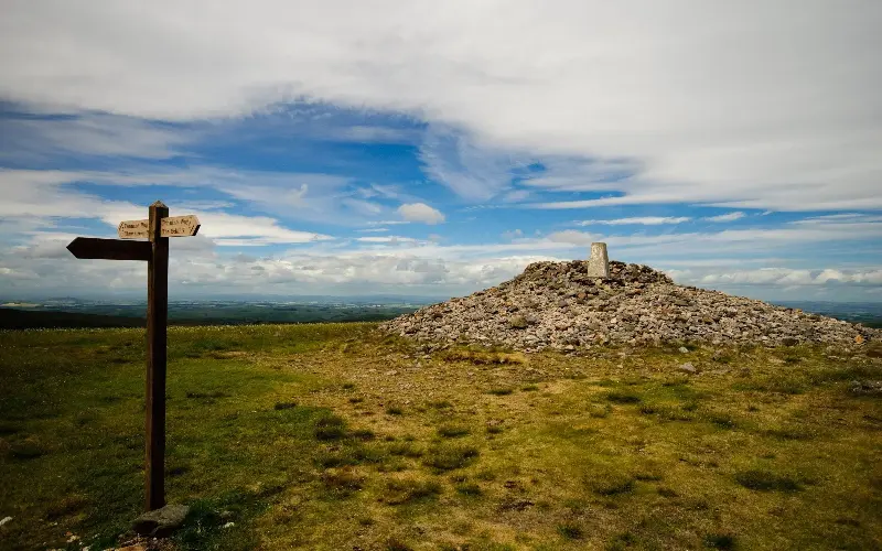
This hill is aptly named, so be prepared for inclement weather. From Barrowburn in remote Upper Coquetdale – it truly is beautifully barren up here – aim for Trows Burn and then follow an obvious route to the 2,031ft summit, marked by an enormous cairn on top of a Bronze Age burial mound. It was renamed Russell’s Cairn in honour of Lord Francis Russell, killed here in 1585 in a mysterious border scuffle. Yes, you are now standing on the divide between England and Scotland, with vast views in all directions. Continue east along the ridge to a well-used path branching right across Middle Hill and back to Barrowburn.
Harthope Valley Horseshoe
9.5 miles | 5.5 hours
Start/end: Harthope Valley (near Langleeford)
OS Grid Reference: NT 95330 22500
Explorer map: OL16
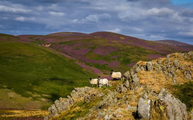
Why climb one of the Cheviot Hills when you could knock off three? And the three highest: Cheviot, Cairn Hill and Hedgehope Hill. From the end of the single-track road up Harthope Valley, near Wooler, head up behind Housey Crags on the steep path to Hedgehope’s 2,343ft summit. Follow the route around the head of the valley to another steep pull up on to Cairn Hill, 2,438ft (where you join the Pennine Way). From here, it’s a relatively easy ascent to the plateau of Cheviot, 2,674ft, with views (if it’s clear) to the coast, 25 miles away. Then it’s downhill, over Scald Hill, to the start.
Away from the crowds
Allendale
4.5 miles | 2.5 hours
Start/end: Allendale Town
OS Grid Reference: NY 83826 55840
Explorer map: OL43
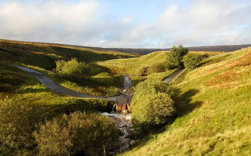
The South Tyne valley can be unfairly overlooked for walks: less dramatic, less wild. On the other hand, it’s more peaceful and offers wonderful views north to Hadrian’s Wall country. This gentle walk starts from Allendale Town and follows the River East Allen north before climbing west on to open farmland and then turning south – with those lovely wide views – to pretty Oakeydene Burn. It passes an old lead-smelting mill before hugging the wooded banks of the East Allen back to Allendale.
Simonside Hills
7 miles | 4 hours
Start/end: Rothbury
OS Grid Reference: NU 05817 01766
Explorer map: OL42 / 332
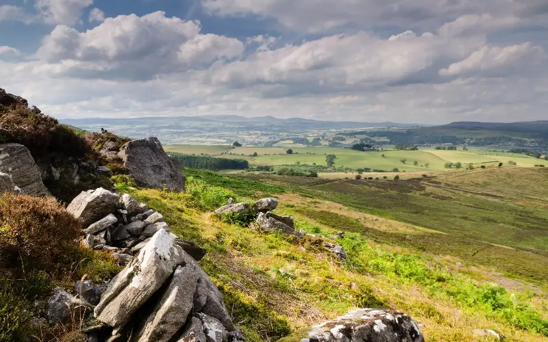
The Simonside Hills, near Rothbury, are not unknown, but they can be overlooked by those who head to the Cheviots when searching for a challenging walk. Head south out of Rothbury, across the River Coquet, to the tower of Sharpe’s Folly and up across Garleigh Moor – with its mysterious “cup-and-ring” stones (possibly Bronze Age) – and along the ridge to Simonside summit (1,411ft), with glorious views north to the distant Cheviot Hills and east to the coast. Descend through forest, past Great Tosson Tower (a 15th-century fortified “pele” tower, a common defence in these border skirmish areas) and across fields back to Rothbury.